English
PROGRAM

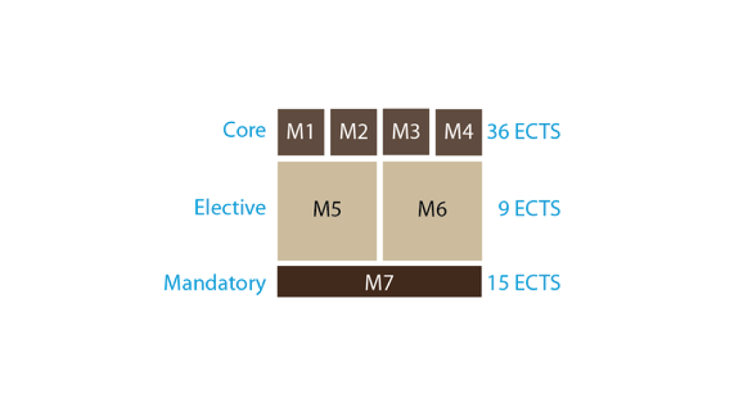
The Master in Remote Sensing and GIS consists of a total of 7 modules, which cover the 60 ECTS. From these
7 modules, 4 of them are formed by core subjects (M1, M2, M3, M4, a total of 36 credits), and M5 and M6 modules allow students to choose between two blocks of
9 credits to delve into aspects of GIS or Remote Sensing. Finally, the student will perform a mandatory Final Project of 15 ECTS (M7).
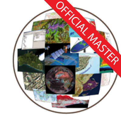
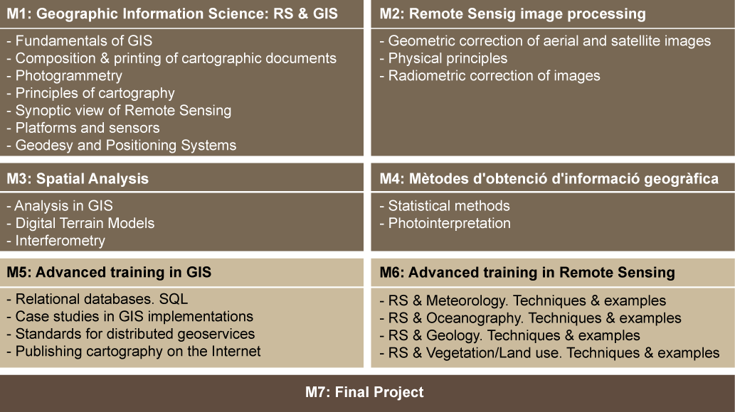
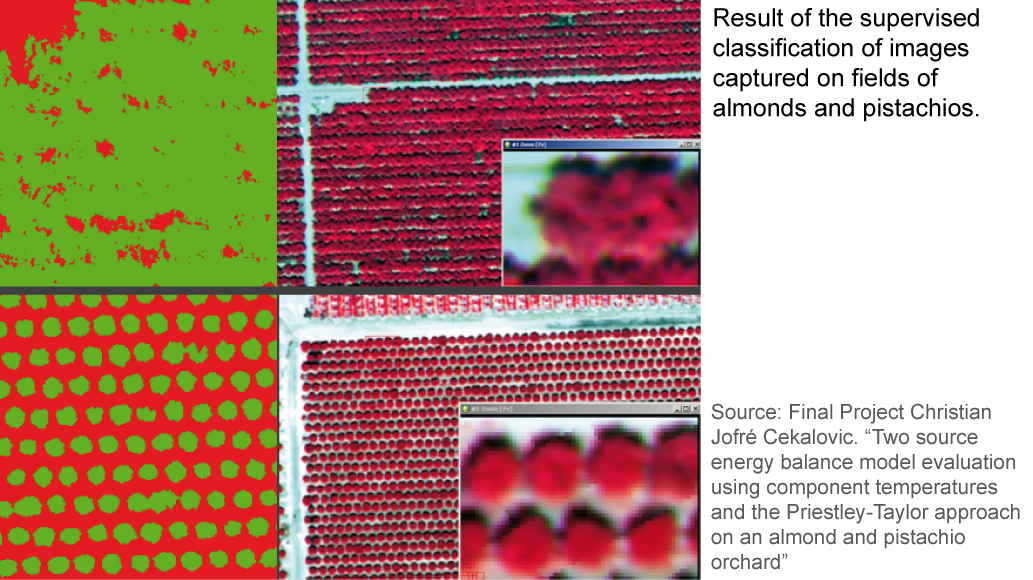
Click on the thumbnails below to see the scheme and contents of the program and a visual gallery of examples.


Duration:
60 ECTS
Implementation dates:
05/10/2026 - 21/05/2027
Schedule:
Monday-Thursday:16:30 - 20:30h
Friday: 15-19h
Price:
EU students: € 92 per credit.
Non-EU students: € 118 per credit. This includes taxes and student insurance. Admission Cost (30.21€)
Best students’ award: upon completion of the Master, students with better marks will receive a prize of € 1500. A prize will be awarded for every five students. For the purpose of awarding the prize, students who have completed the entire Master's degree this academic year and who have not spent more than 2 academic years completing it or repeated any subjects between the 2 years will be taken into account. Students who complete the Master's degree in 2 academic years are only counted and are only eligible for the prize in the 2nd academic year.